| Survey data | |
|---|---|
| Surveyed by: Susan Pittman | Surveyed on: 5th April 2012 |
| Number of trees: 1 | |
| Girth: 2m (measured at 1.5m) | |
| Tree form: Pollard | |
| Dead or alive: Alive | |
| Standing/fallen: Upright | |
| Access: Private - visible from public access (permission not required to view) | |
This tree's story
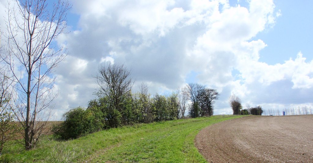
This hedge/tree line on a bank is the ancient ecclesiastical boundary between Eynsford and Lullingstane (now Lullingstone). The field maple pollard is marked on the 1802 estate map of Lullingstone Castle.
Growing on the tree
- Unknown
Signs of animal life
- unknown
Additional comments
In published Crockenhill Tree Surveys 1982, 1992, 2002, 2012 as H97 (T324). The line includes 10 species in 28m stretch, and includes dogs mercury and butchers broom. It was very poorly treated and exposed to stubble burning, but in the last decade or so has not been ploughed up to but left with headlands on each side. The poplars once inter-planted have gradually died or fallen over. There are some gaps